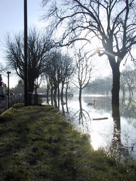
Datchet river front 5th January 2003, the road to the left is a couple
of feet above the ground level in the centre of Datchet. The benches are
completely submerged. A chap who has lived on the river front at Datchet
for 50 years said he had only once seen the river as high. The Environment
Agency has previously stated that the Maidenhead, Windsor & Eton flood
relief channel (now the "Jubilee River") would not have an
adverse affect on Datchet.

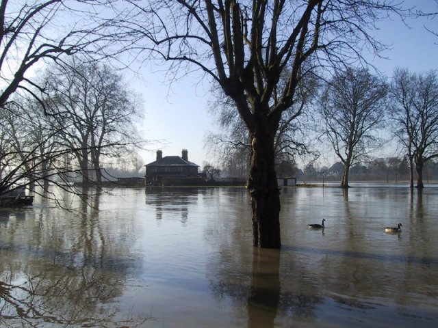
Surrounded!
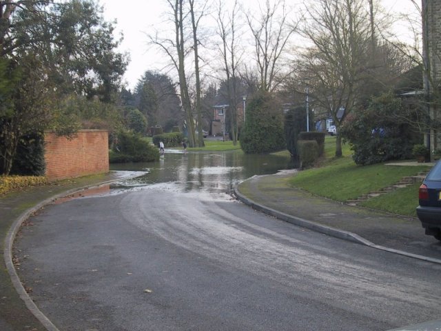
Creeping into Datchet streets.
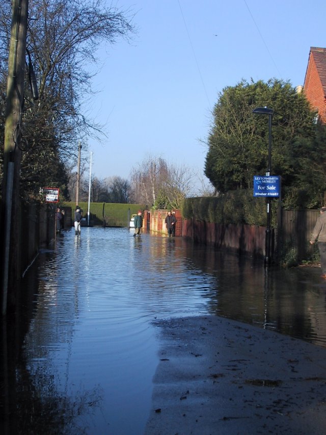
Pococks lane (the road from Datchet to Eton) 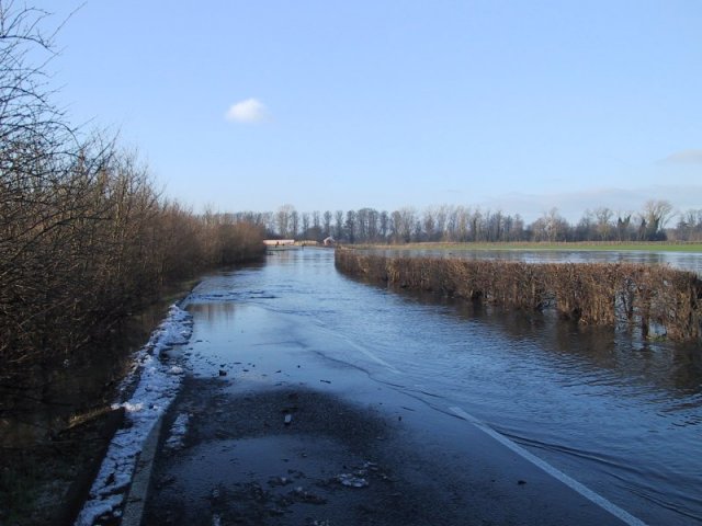
The Myrke ditch breaches it's banks. Excerpt taken from an NRA January
1991 document;
"A pumping station will be provided on the stream just upstream of
the viaduct. This will permit
the Myrke water levels to be held within banks even with high water
levels at the outfall to the River Thames"
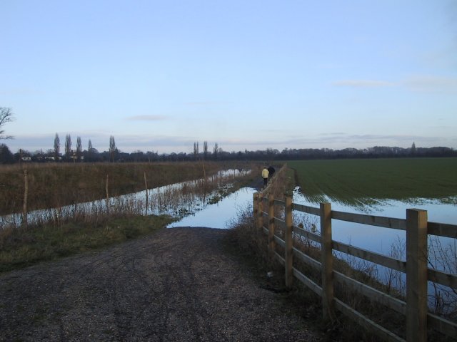
Has the above caused this flooding?
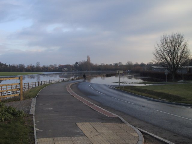
View from a footbridge over the flood relief channel looking towards the
Pococks lane road bridge. 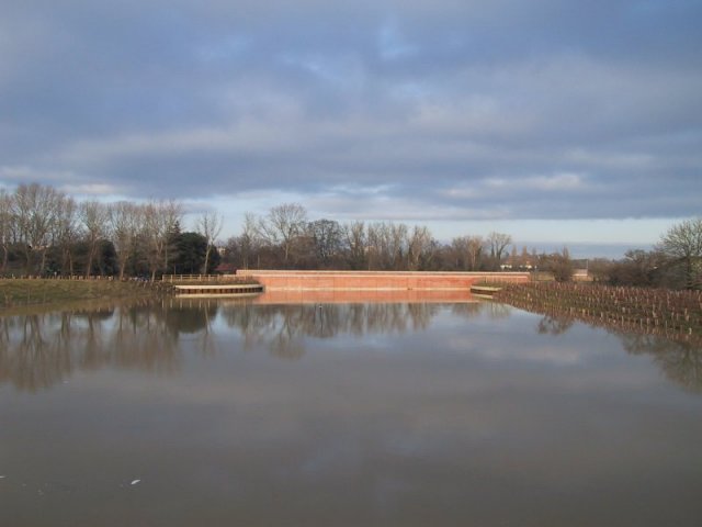
And the other way towards the railway bridge and the Thames
(Datchet golf course is to the left after this bridge.) 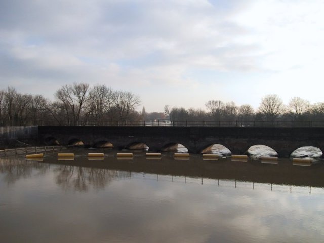
A stranded 4x4.
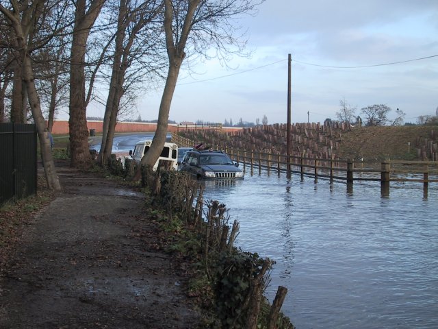
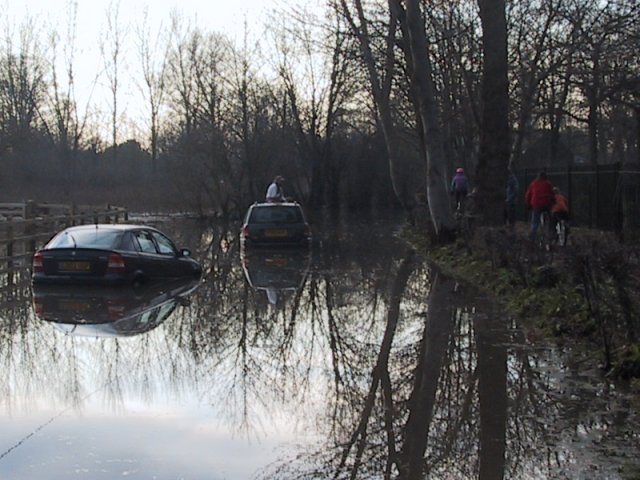
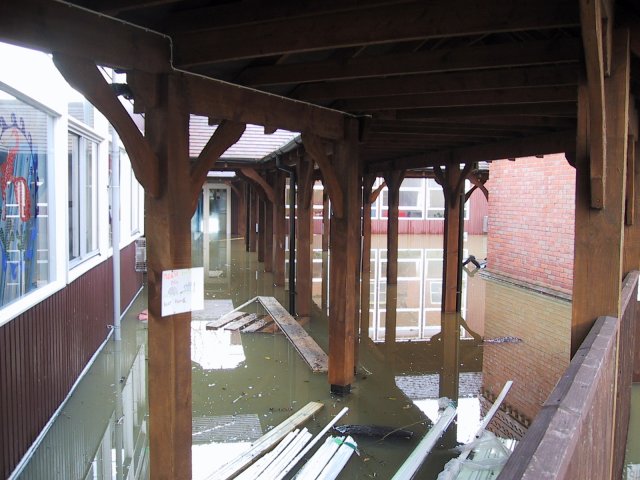
Flooded school in Eton Road. 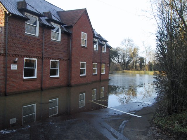
This is the golf course! 
Copyright © 2003 Andrew & Nicola Smith.